Costa Rica is small enough to misread on a map. A distance that looks like an hour’s drive can cross three or four distinct climates, because in this country altitude changes conditions faster than horizontal distance does. Drop from a highland pass at 3,000 meters to a steamy lowland valley, and you can lose 15 degrees Celsius and gain 30 percent humidity before lunch. For a photographer, that shift is not trivia — it is the itinerary.
This is the least obvious layer of planning a Costa Rica photography trip, and the one that surprises visitors most in the field. It comes from years of working across that altitude gradient in a single day, more than once.
The Short Answer
Costa Rica’s microclimates are driven primarily by altitude, not just by coast or season. As elevation rises from sea level toward the central highlands, temperature drops, humidity and cloud cover increase, and the light itself changes character — cooler, softer, and more diffused at altitude than in the lowlands. A single day’s drive can move a photographer through several distinct microclimates, each demanding different gear, clothing, and shooting strategy.
Why Altitude Matters More Than Distance in Costa Rica
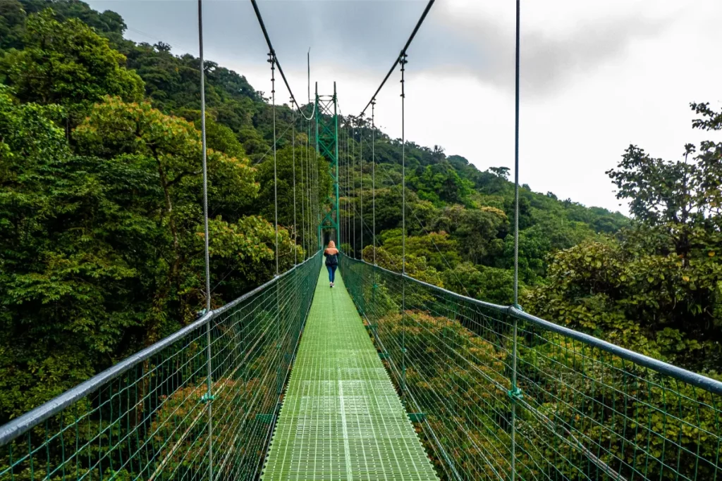
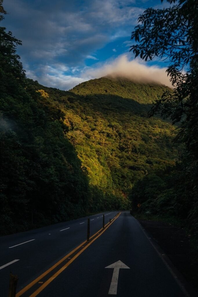
Costa Rica’s mountainous spine rises to over 3,000 meters in places, and that elevation gain happens over relatively short horizontal distances. As air rises and cools, moisture condenses into cloud and mist — which is exactly why the country’s highland forests are called cloud forest. The practical result: two locations that look close together on a map can sit in entirely different climate zones, and a photographer who plans by distance alone will misjudge both conditions and travel time.
How Light Changes With Elevation
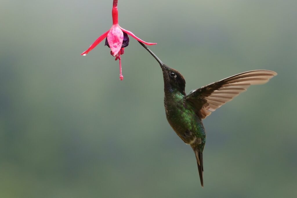
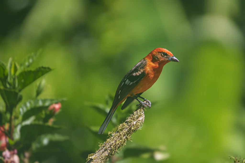
Lowland light in Costa Rica tends to be strong, direct, and — depending on cloud cover — can shift quickly between harsh midday sun and heavy overcast. As you climb, persistent mist and cloud diffuse that same light into something much softer and more even, often for hours at a time. This is part of why highland cloud forest produces such flattering conditions for detailed subjects like hummingbirds: the light itself is doing less work against you. Photographers moving between elevations in one trip need to plan exposure strategy for both extremes, not just one.
Temperature and Gear: What Altitude Actually Costs You
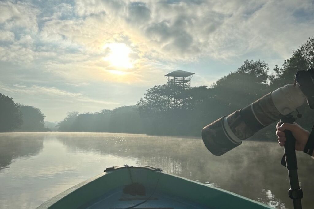
The temperature swing across Costa Rica’s elevation range is significant enough to affect both comfort and equipment. Lowland heat and humidity strain camera electronics and fog lenses moving between air-conditioned vehicles and the field. Highland cold — genuinely cool, sometimes near freezing at dawn in the highest zones — demands layered clothing and battery management, since cold drains batteries faster. Packing for a single-elevation trip is simple. Packing for a trip that moves across microclimates in the same week requires planning for both extremes at once.
Microclimates Shape Wildlife Behavior, Too
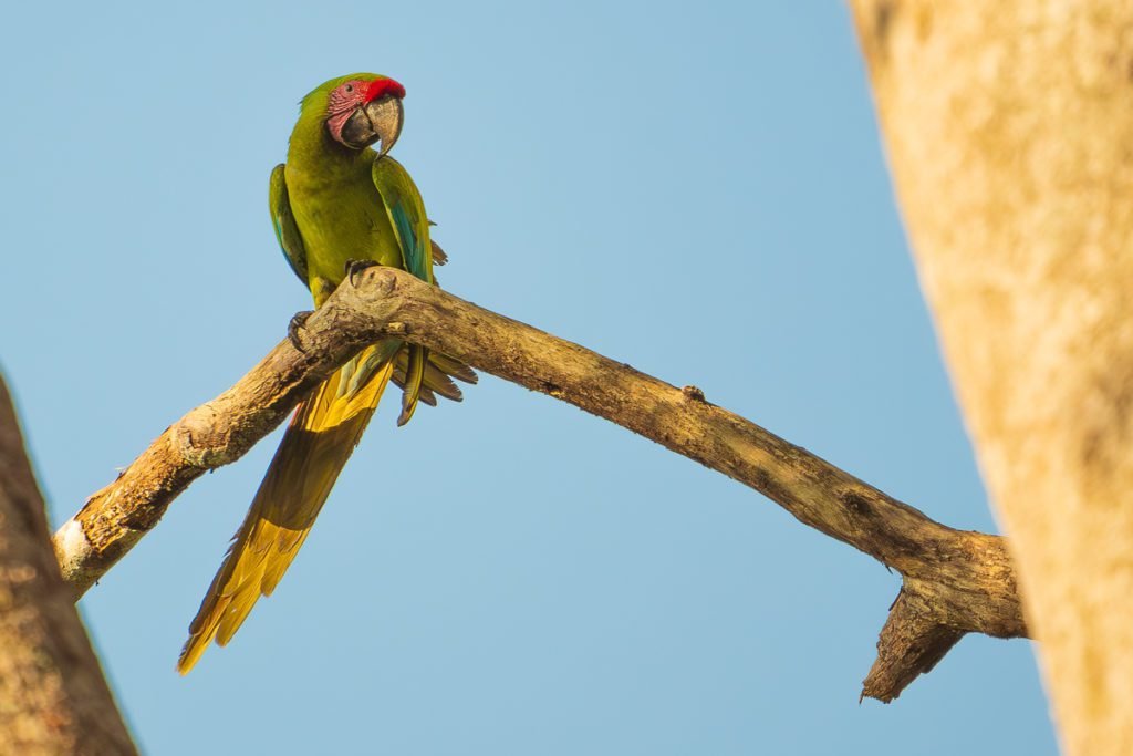
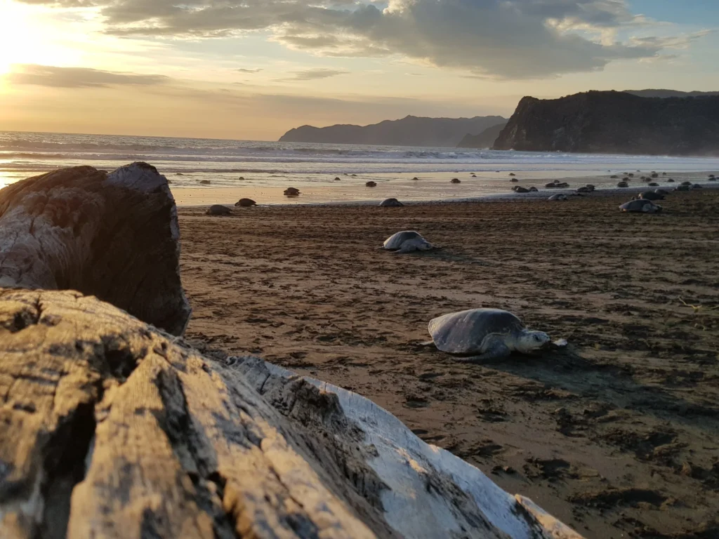
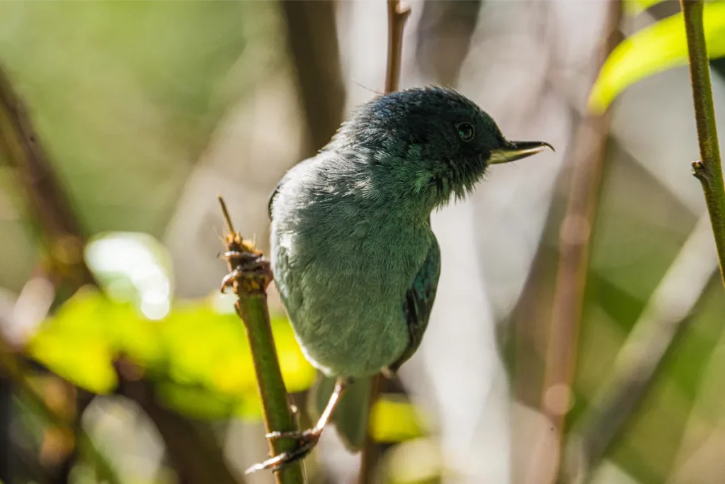
Species distribution in Costa Rica follows elevation as much as it follows ecosystem type. Certain birds and amphibians are highland specialists, rarely or never found at sea level; others are lowland residents that would not survive the cold nights of the highest zones. This is one of the reasons a single Costa Rica itinerary can produce such a varied portfolio — moving through elevation is, in practical terms, moving through different wildlife communities, not just different scenery.
Planning a Trip That Respects the Altitude Gradient
Because conditions change so quickly with elevation, the biggest planning mistake is treating a multi-elevation itinerary like a flat one. A few principles that hold up in the field:
- Budget real time for elevation changes. Mountain roads are slower than their distance on a map suggests.
- Pack for both extremes if your itinerary spans lowland and highland — layers you can add or remove matter more than a single “right” outfit.
- Expect light to change character, not just brightness, as you move — highland softness is a different tool than lowland contrast, not a lesser one.
- Let elevation inform your subject expectations. A highland morning and a lowland afternoon on the same day can require completely different technique.
Local Knowledge Makes the Difference
Reading a map is not the same as knowing what a specific pass feels like at 6 a.m. in February, or how fast fog rolls into a particular valley in the rainy season. That kind of knowledge only comes from operating in a place repeatedly, across seasons and years. It is also exactly what turns a technically correct itinerary into one that actually delivers strong images in changing conditions. See how this shapes our wildlife photography tours and bird photography tours, both of which are planned with elevation, not just location, in mind.
Plan Your Itinerary Around the Altitude You Want
Whether your trip stays in one elevation zone or moves through several, altitude should be a deliberate part of the plan, not a surprise in the field. Start with private Costa Rica photography tours and tell us the light and subjects you’re chasing.
Frequently Asked Questions
How much does temperature change with altitude in Costa Rica?
Moving from sea level to the highest highland zones, temperature can drop by well over 15 degrees Celsius, along with a significant increase in humidity and cloud cover. These changes can occur within a single day’s travel, since elevation gain happens over relatively short distances.
What should I pack for a Costa Rica trip that covers multiple elevations?
Pack in layers rather than for a single climate. Lowland heat and humidity call for breathable, moisture-wicking clothing and gear protection, while highland mornings can be genuinely cold, requiring a warm layer, especially before sunrise. Battery management also matters more at altitude, since cold weather drains batteries faster.
Why is cloud forest light different from lowland light in Costa Rica?
Highland cloud forest sits at an elevation where mist and cloud persist for much of the day, diffusing sunlight into a soft, even light. Lowland light, by contrast, tends to be more direct and higher contrast, shifting more sharply between harsh sun and heavy overcast.
Does altitude affect which wildlife I can photograph in Costa Rica?
Yes. Many species in Costa Rica are elevation specialists — some birds and amphibians live only in highland cloud forest, while others are restricted to warm lowland habitats. Moving through different elevations on a single trip effectively means encountering different wildlife communities.
How long does it take to travel between different elevations in Costa Rica?
Longer than the map distance suggests. Mountain roads that connect lowland and highland zones are slower than flat, lowland routes, so itineraries that move across elevation need extra time built in rather than being planned on straight-line distance alone.