
The best photography destinations in Costa Rica are the ones that match your subjects: San Gerardo de Dota for quetzals and highland birds, Boca Tapada and Maquenque for macaws and lowland rainforest, Caño Negro for wetland birds from a boat, Sarapiquí for frogs and rainforest macro, and Tárcoles and Carara for scarlet macaws and river work. A strong private itinerary combines two to four of them, not ten.
This guide groups the 13 core destinations Physis builds private photography programs around, plus five extensions you can add when you have more days. For each one you will find what it is best for, the approximate elevation and drive time, and how it fits into a route.
Quick facts
- Core destinations: 13, from sea-level wetlands to cloud forest above 2,000 m.
- Extensions: 5 (Osa & Corcovado, Manuel Antonio, Tortuguero, Monteverde, Guanacaste), usually 2–4 extra days each.
- Typical private route: 2–3 destinations in a week; 4–5 in ten to fourteen days.
- Drive times: most core destinations are 1–5 hours from San José by road; times below are approximate and depend on traffic and weather.
- Nothing is guaranteed: wildlife and weather vary. Repeated sessions in the right place matter more than the number of stops.
Which Costa Rica destination is best for each type of photography?
Pick destinations by subject first, then by season and travel time. The table summarizes the 13 core destinations.
| Destination | Best for | Elevation (approx.) | From San José (approx.) |
|---|---|---|---|
| San Gerardo de Dota | Resplendent quetzal, highland hummingbirds, cloud forest | 2,100–2,300 m | 2.5–3 h |
| Boca Tapada & Maquenque | Great green macaw, king vulture, toucans, lowland rainforest | Below 200 m | 4–5 h |
| Caño Negro | Wetland birds, caimans, boat photography | Below 100 m | 4.5–5 h |
| Sarapiquí | Frogs, reptiles, insects, rainforest birds, night macro | 50–200 m | 1.5–2 h |
| Guápiles | Caribbean foothill birds and macro | 200–300 m | 1.5 h |
| Tárcoles & Carara | Scarlet macaw, crocodiles, river boat sessions | Sea level–300 m | 1.5–2 h |
| Río Celeste & Tenorio | Turquoise river, waterfalls, rainforest landscapes | 600–900 m | 3.5–4 h |
| Arenal | Volcano landscapes, foothill birds, forest | 500–800 m | 3–3.5 h |
| Central Valley | First and last-day sessions near the airport | 1,000–1,500 m | Under 1 h |
| Poás & Vara Blanca | Cloud forest hummingbirds, volcanic highlands | 1,700–2,000 m | 1–1.5 h |
| San Ramón cloud forest | Mid-elevation cloud forest birds and macro | 800–1,200 m | 1–1.5 h |
| Orosi Valley | Valley landscapes, mid-elevation birds | 1,000–1,200 m | 1.5 h |
| Copey & Los Santos | Highland birds, coffee landscapes | 1,800–2,200 m | 2–2.5 h |
Where should you go for bird photography?
For birds, combine one highland destination with one lowland destination. That pairing covers two very different bird communities in a single trip.
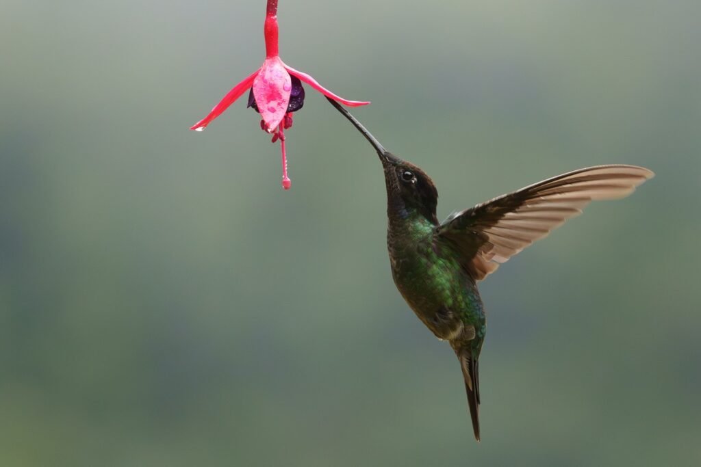
San Gerardo de Dota is the reference highland valley for the resplendent quetzal, with fiery-throated and Talamanca hummingbirds, flame-colored tanagers and long-tailed silky-flycatchers in the same oak forest. Quetzals are present year-round, and the breeding season, roughly February to May, is usually the most productive period. Mornings are cold and cloud can roll in fast, so plan two or three nights.
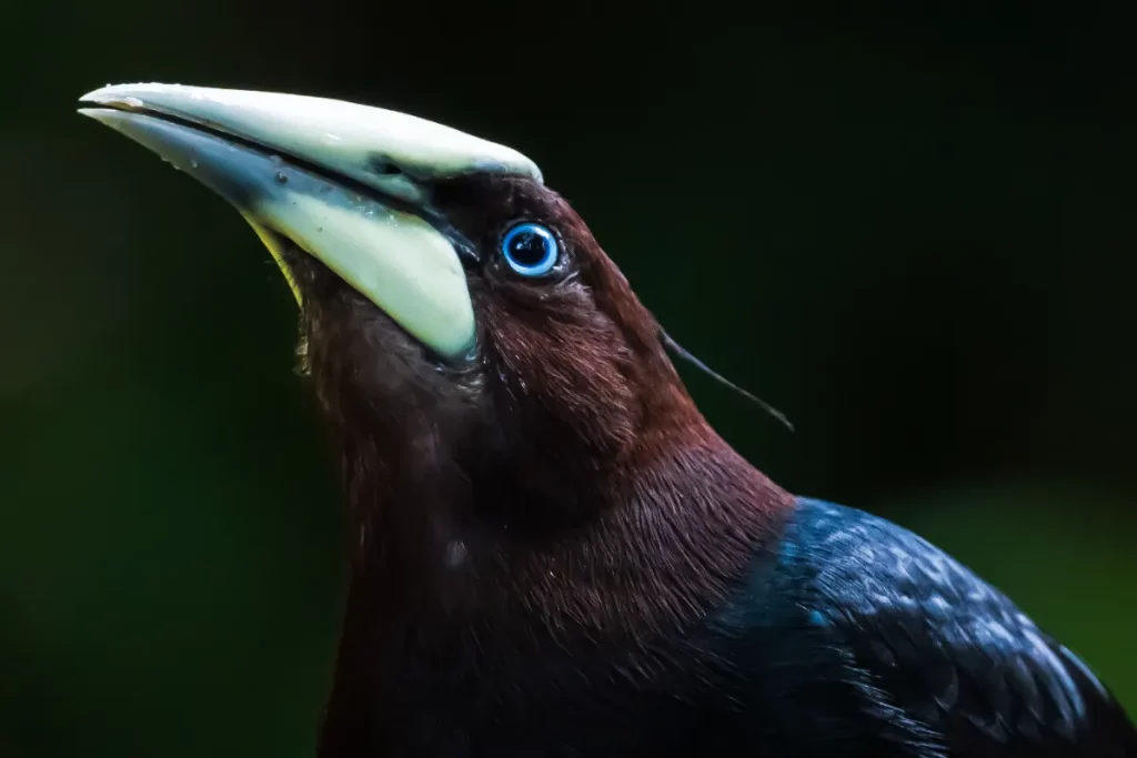
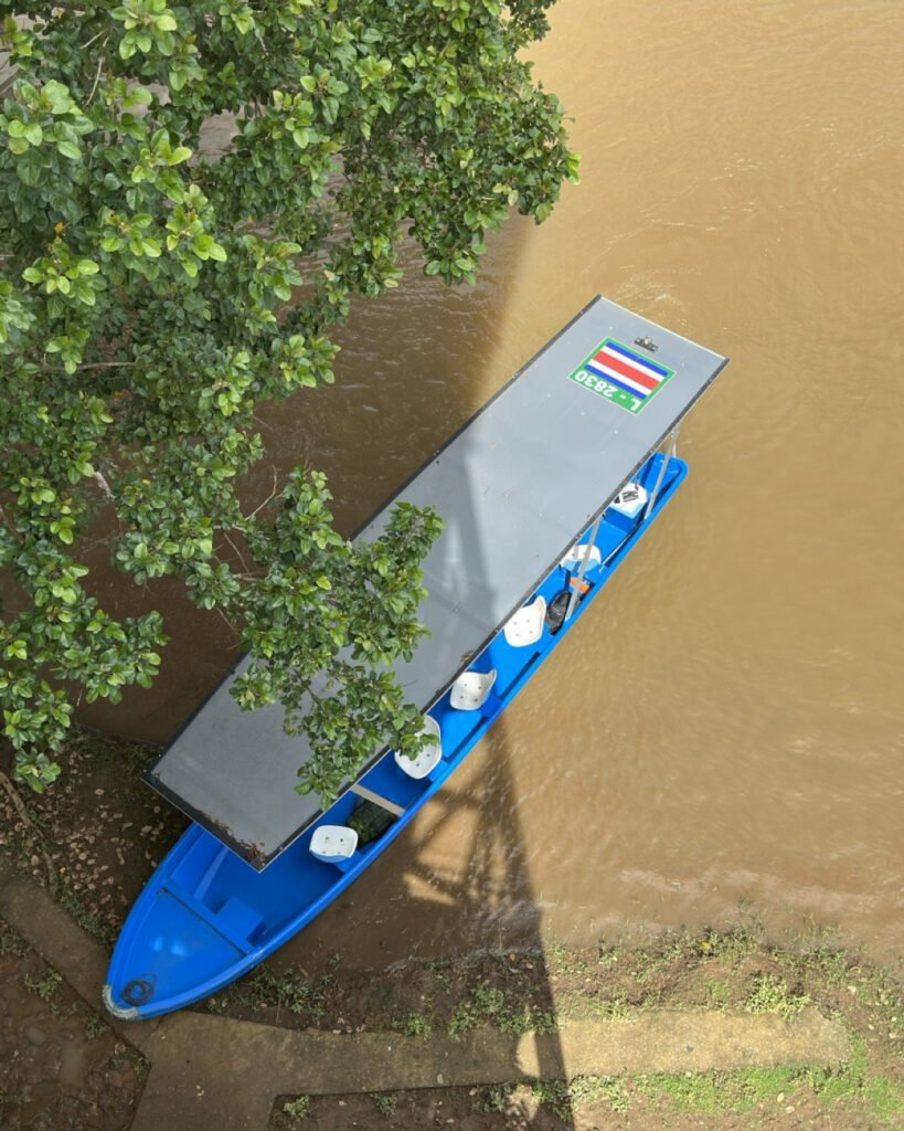
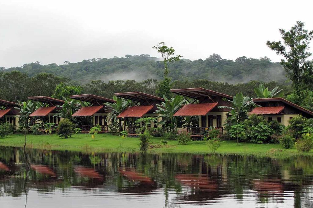
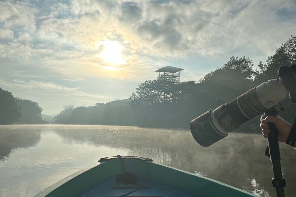
Boca Tapada and the Maquenque area, in the northern Caribbean lowlands near the Nicaraguan border, are where most photographers go for the great green macaw, king vulture, toucans and aracaris. The transfer is long, which is why a multi-night stay makes sense. Caño Negro adds a completely different look: open wetland light, waterbirds and caimans photographed from a low boat. On the Pacific side, Tárcoles and Carara are the closest option for scarlet macaws and river boat work, about two hours from the airport.
For species-by-species detail, see the birds worth building a trip around.
Photograph Costa Rica’s best destinations on a private Physis program
Physis designs private, custom-made photography trips in Costa Rica around the destinations that fit your subjects, with local specialists and the right season and light. Programs start from US$4,000.
Where should you go for wildlife and macro photography?
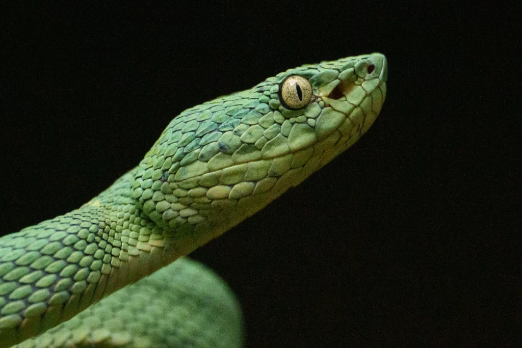
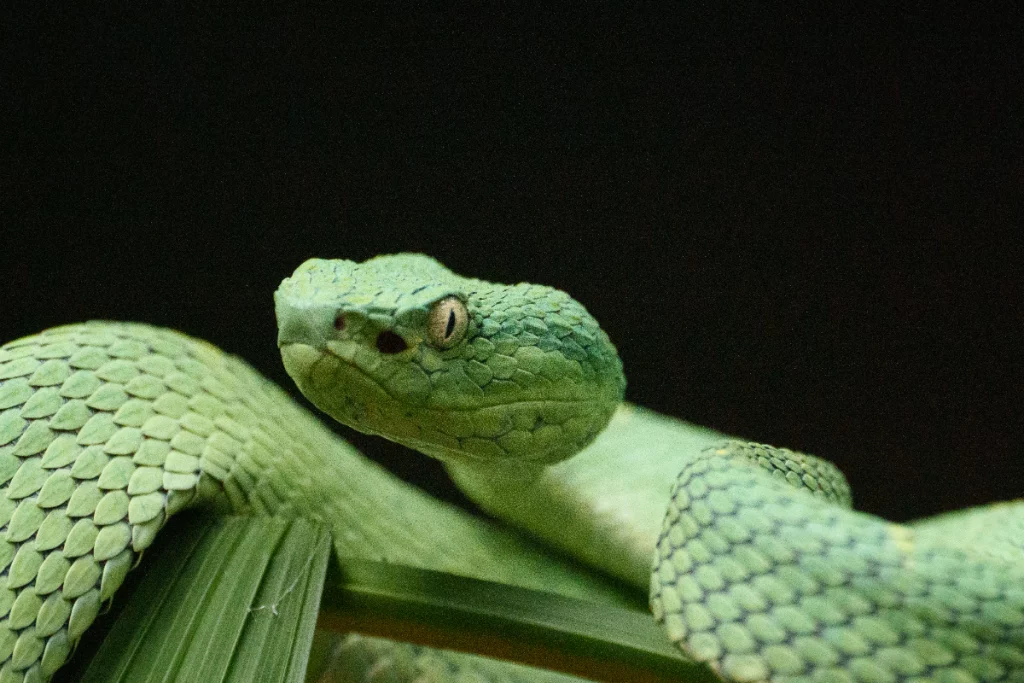
For frogs, snakes, insects and night work, the Caribbean lowlands and foothills are the most productive: Sarapiquí first, then Guápiles and Boca Tapada.
Sarapiquí is close enough to San José to start a trip there and humid enough to support red-eyed tree frogs, poison dart frogs, glass frogs and a long list of reptiles and insects. Rain is part of the working conditions, so a covered setup and diffused flash matter more than a long lens. Río Celeste and Tenorio combine rainforest subjects with one of the country’s most photographed rivers. For mammals such as sloths and monkeys, lowland and Pacific destinations are generally more productive than the highlands, but sightings depend on the day and on a guide’s current knowledge.
Which destinations work best for landscape photography?
Arenal, Río Celeste and Tenorio, the Orosi Valley and the Copey–Los Santos highlands are the strongest core choices for landscapes.
The Arenal volcano is often in cloud, so plan more than one dawn and dusk to improve your chances of a clear cone. Río Celeste rewards overcast light, which keeps the turquoise water saturated and the contrast manageable. The Orosi Valley and Los Santos offer layered ridgelines and coffee country that work well in early morning mist.
How do season and slope change the choice?
Costa Rica’s Pacific and Caribbean slopes have different rainfall patterns, so the same month can be dry on one side and wet on the other.
The Pacific side and Guanacaste have a well-defined dry season, roughly December to April. The Caribbean slope is wetter overall and has no long dry season, although September and October are often relatively drier there. Caño Negro tends to be easier to photograph in the dry months, when water levels drop and birds concentrate. The official Visit Costa Rica climate guide describes the regional patterns. For a month-by-month view, read the best time for wildlife photography in Costa Rica and Pacific vs Caribbean Costa Rica for photographers.
What are the best extensions to add to a photography trip?
Extensions are destinations Physis adds when you have two to four extra days and a specific reason to go.
| Extension | Why add it | Main consideration |
|---|---|---|
| Osa & Corcovado | Remote Pacific rainforest and wildlife | Long transfers or domestic flights; basic access |
| Manuel Antonio | Coastal rainforest, monkeys and sloths | Popular park; early entry helps |
| Tortuguero | Canals and boat-based wildlife photography | Reached by boat or small plane; seasonal turtle nesting under regulated tours |
| Monteverde | Classic cloud forest and hummingbirds | Busy trails; cool, misty conditions |
| Guanacaste | Dry forest and Pacific coast light | Very dry and hot from December to April |
How many destinations fit in one trip?
Two to three destinations fit a one-week private program; four or five fit ten to fourteen days.
Each move costs half a day or more on the road, and the best images usually come on the second or third session at the same place, once you know where the light falls and where the birds come in. That is why it pays to give the key destinations at least two nights. How many days you need depends on how many of these subjects you want to cover.
From the field: how Physis builds a destination route
Physis starts from your target subjects and dates, not from a list of famous parks. A route usually pairs contrasting habitats (highland and lowland, forest and wetland), keeps transfers short enough to protect the morning and late-afternoon light, and gives the most important destinations repeated sessions. Pace, lodging and the interests of anyone traveling with you shape the final mix. Photography comes first: the goal is a coherent portfolio, not the greatest number of stops.
Frequently asked questions
What is the single best place for photography in Costa Rica?
There is no single best place, because each destination serves a different subject. San Gerardo de Dota is the strongest choice for quetzals and highland birds, Boca Tapada for macaws and lowland species, Caño Negro for wetland birds, Sarapiquí for frogs and macro, and Arenal or Río Celeste for landscapes. Most photographers get the best results by combining two or three of them.
Can one trip combine birds, wildlife, macro and landscapes?
Yes, if the route mixes habitats. A typical combination is a highland cloud forest for birds, a Caribbean lowland destination for macaws, frogs and night macro, and a volcanic area for landscapes. It works best with ten days or more, so each place still gets more than one session.
Are national parks always the best photography locations?
Not always. Many of the most productive sessions happen in private reserves and photography-oriented lodges, where access starts earlier, setups are designed for photographers and you can return to the same subject. National parks still matter for certain landscapes and species, but opening hours and crowds can limit the light you get.
Which destinations are closest to the San José airport?
The Central Valley, Poás and Vara Blanca, and the San Ramón cloud forest are all within about an hour and a half of the airport, which makes them useful for the first or last day. Sarapiquí and Tárcoles are around two hours away and work well as a first full destination.
Start planning your photo tour
Tell us your target subjects, dates and pace, and Physis will propose the destinations that fit a private program built around your photography. Programs start from US$4,000.